The centre
On the right bank of the Vinalopó, round the old irrigation partidors
- Plaza de España
- the Glorieta
- San Pedro
- the Casa-Museo Modernista
- the Casino
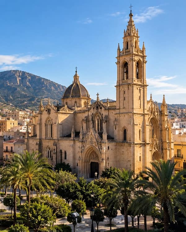
The town grew out of four Moorish hamlets joined round an open space where the irrigation channels were shared out. Today that is the Plaza de España, with its seventeenth-century town hall, the church of San Pedro, begun in 1553, and the Glorieta. The modernist houses of 1900 to 1910 are here too, many still with their original timber doors.
San Roque, La Garrova and the Estación
Round the centre, out to the railway
- San Roque
- Sant Roc
- La Garrova
- Barri de l’Estació
- Novelda-Aspe station
San Roque has its own church, from 1663, and its own fiestas; La Garrova takes its name from one of the old irrigation channels. The Estación grew beside the Novelda-Aspe stop on the Madrid–Alicante line. A third of what stands in the town went up in the 1960s and 1970s, and a lock fitted then has had fifty years of keys.
La Mola
About 3 km north-west of the town, beside the river
- Castillo de la Mola
- Santuario de Santa María Magdalena
- Serra de la Mola
The Almohad castle with its triangular tower, and José Sala Sala’s sanctuary of Santa María Magdalena, built from 1918 to 1946. On 20 July the saint is carried down from here to San Pedro in the romería, and the roads fill with people on foot.
The partidas under the sierras
North and west, towards Petrer, Elda and Monóvar
- el Sit
- Bateig
- Beties
- el Duaime
- el Montagut
- la Serreta Llarga
- la Xiritxola
- el Collado
Country houses and old farm buildings on tracks below hills of 500 to 700 metres. Since the 1980s many plots stopped being farmed and the houses became first or second homes. A house here is found by its partida and its own name, not by a street.
The old huerta
Round the town, along the Séquia Major
- l’Assenet
- l’Almoïna
- el Colomer
- la Deula (l’Alèdua)
- les Alcaeries
- la Vicaria
The historic irrigated land, once table grapes and vegetables, with the channels that gave several partidas their names. Houses with a yard, a store and a gate onto a track, on the edge of the town itself.
El Campet and the roads south
The long strip between Aspe and Monforte del Cid
- el Campet
- el Camí d’Asp
- el Camí de Montfort
- les Tres Creus
The huerta spread south over this strip after the Moorish period. Plots with houses and stores, reached by the old roads to Aspe and Monforte.
El Fondonet, Santa Fe and Salinetes
Beside the A-31 and on the roads out of town
- El Fondonet
- Santa Fe
- the industrial zone off Avenida Jesús Navarro
- Salinetes
El Fondonet covers about 400,000 m² a few metres from the A-31; Santa Fe has its own plan; the strip off Avenida Jesús Navarro is the older industrial ground. Much of it is the stone trade: saw yards, workshops and showrooms. The Puerto del Sol business park at Salinetes has been approved but not yet built.